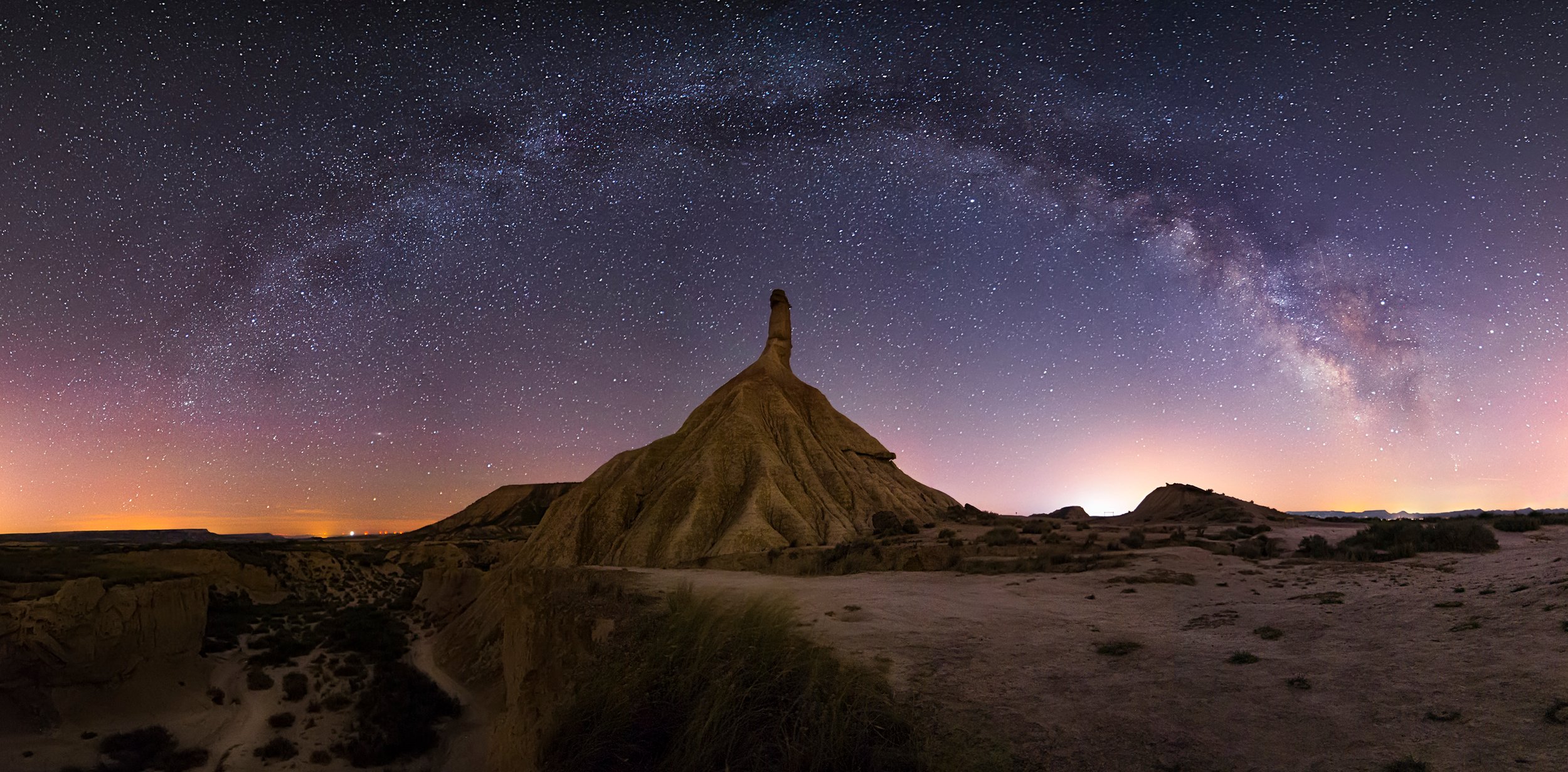
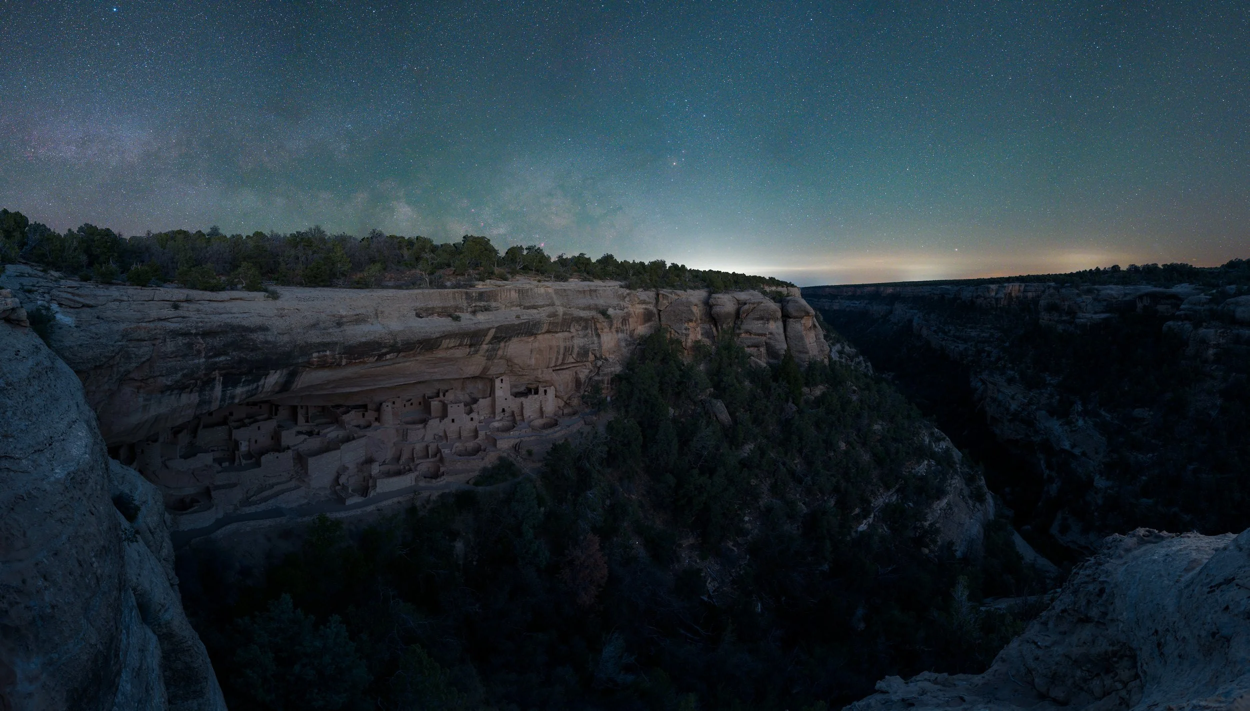
Visiting our National Parks with a little foreknowledge is the best way to ensure your chances of coming home with great photographs. Being in the right place at the right time is rarely an accident. Foreknowledge is also the recipe for making your images stand out from the millions of other photos taken in these dramatic locations.
Photographers should take the time to do some “virtual” scouting. Begin with a Google search of the name of the park you are planning to visit. At the top of the resulting screen you’ll find filters to adjust what content is displayed on the page. Click on “Images” to be rewarded with a page full of photos in and around the park.
While not all of the photos will be masterpieces, they will give you a great idea of the locations of the more popular viewpoints and places of interest. Clicking on an image opens it to a larger view and supplies the link to the image. You’ll often find the name of the location or feature right here. If not, click on the link to discover more information about the image.

Take some time with this process and create a list of all possible locations you’d like to visit. Some of the places you may want to shoot might be inconvenient, closed for the season or farther than you would like hike.
Next, find a map! Google Maps is a great resource, as are the official National Park maps that can be found at www.nps.gov. Once you locate the desired sights on the map, you can better assess the best time of day or night to be there. Knowing the exact direction you want to face makes it easier to find south-facing mountains for star trails around the North Star, east-facing objects for sunrise, and west-facing scenes for sunset.
Making a list of possible scenes and locating them on the map is the least anyone should do before visiting a national park for photography. For those who leave nothing to chance, there are plenty of websites, computer applications and smartphone apps that can assist in exact sun angles and rise and set times, direction of moon rises and even when it will rise above a land formation. A couple of my favorites are PhotoPills and Google Earth.
PhotoPills is a great iPhone app that can do just about everything — planning your Milky Way shots, calculating depth of field, discovering the start time of astronomical twilight, or even discovering exactly when and where the moon will rise over the nearby peaks. It’s a must-have for any photographer who uses an iPhone. By phone app standards it’s a bit pricey ($9.99), but well worth every penny.
Google Earth is another indispensable, content-rich application for your computer and iOS or Android phone. Using Google Earth you can get an excellent lay of the land you plan to visit. By using the controls in the upper right, you can not only zoom in and around but also tilt to get a reasonable idea of the land formations.

For those looking for a less technical experience, Sun Seeker, Night Sky and Moon Seeker are three apps that are quite useful … and free!